

NVRoads provides traffic and travel information for Nevada, giving drivers a way to check conditions and plan routes before or during a journey. Its map, camera feeds, popular driving times, and updates cover different parts of the trip-planning task.
Choosing a route and travel time
When deciding when to set out or which roads to take, the interactive traffic map shows traffic flow and areas of congestion. The app also provides popular driving times for different routes, which can help with comparing when to travel. These tools support route and timing decisions; the source describes alternate routes as an option when traffic conditions call for a change.
Checking what traffic looks like
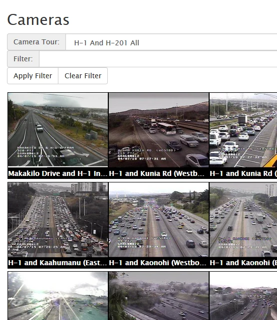
Map information can be supplemented with traffic camera feeds. Cameras on major highways show the current road situation visually, offering another way to assess conditions on a route. If a feed shows congestion or an incident, drivers can consider another route or adjust their plans.
Preparing for changing road conditions
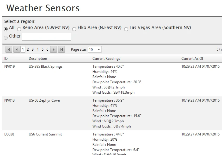
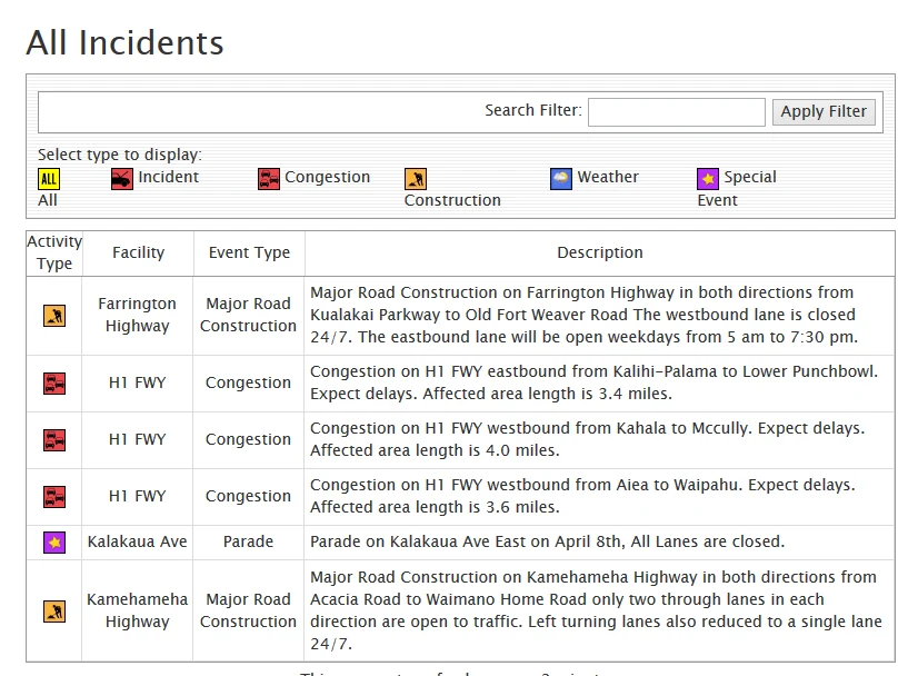
Road conditions, construction, incidents, and weather can affect a journey. NVRoads provides updates and alerts about these topics so users can check for issues that may affect their route. This information is relevant both while planning ahead and when reviewing conditions during travel.
Keeping up with updates on a journey
The source says users can keep the app running in the background or enable notifications to receive updates about road conditions, incidents, and weather changes. Those alerts can inform decisions during a trip. Together, the map, cameras, timing information, and condition updates address separate steps in checking and responding to Nevada travel conditions.