

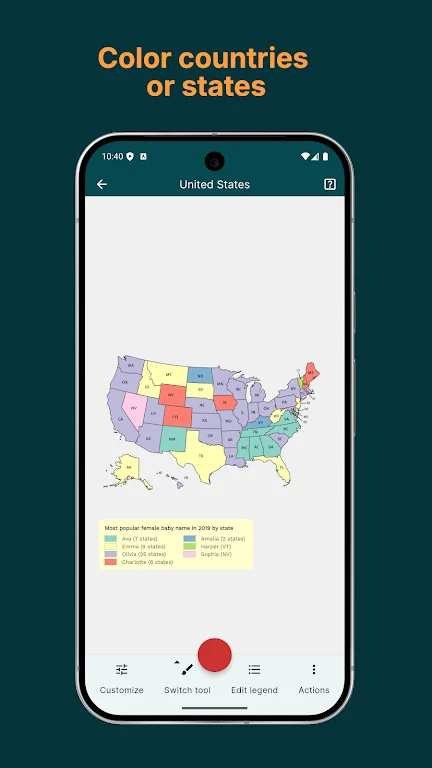
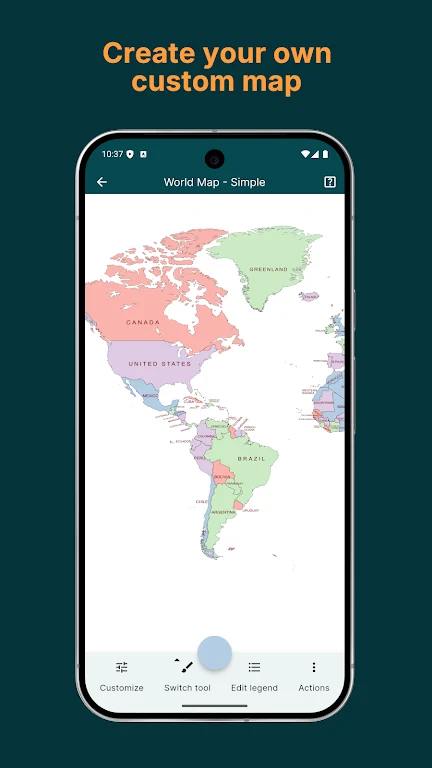
MapChart helps you make maps by coloring countries, states, or other areas in a selection of geographic and themed map templates. This can be useful for illustrating statistics, planning a trip, or creating an alternative-history map without starting from a blank canvas. Choose a map, tap the regions you want to color, and adjust its presentation with options for the legend, borders, and background. When the map is ready, you can preview it and download or share a PNG image.
Maps from geography to fantasy
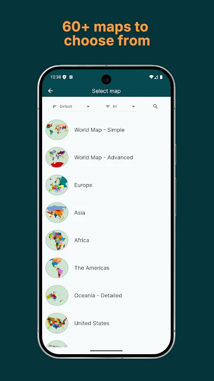
The collection covers world regions including Europe, Africa, the Americas, Asia, and Oceania, as well as maps of individual countries and administrative divisions such as counties and provinces. The source also lists US state and county maps. For other interests, there are historical maps covering dates and periods such as 1815, 1880, 1914, 1938, World War I, and World War II. The selection extends to maps for Hearts of Iron IV, Victoria III, and Europa Universalis IV, plus fantasy settings including Westeros and Tamriel.
Coloring and presentation tools
MapChart’s coloring workflow starts with selecting a template and filling in the areas you want to distinguish. You can then refine the map by changing legend styles, hiding elements, and adjusting border and background colors. These controls let the map’s appearance support its purpose, whether it is meant to show information, mark places for a trip, or depict an imagined historical outcome.
Save work and reuse a style
You can save a map to your device and return to edit it in a later session. Saved configurations help preserve editing progress, while My Palette stores preferred colors and patterns for use across maps. The app also supports importing and exporting .txt configuration files, providing another way to keep map settings consistent.
Offline use and finished maps
Offline use is supported, and completed work can be previewed before you download or share it as a detailed PNG. Together, saved projects and reusable palettes make it possible to continue a map later or apply a familiar visual style to another one. The available templates range from broad geographic areas to country-specific and niche subjects.