


Live Satellite & Location Maps provides GPS navigation and live traffic information for driving on roads in the USA. Its maps and directions are intended to help users locate destinations and follow a route, with satellite views and voice-guided instructions among the available navigation tools.
Driving directions and traffic updates
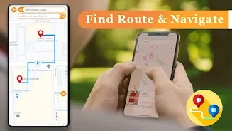
The app provides driving directions for reaching a chosen destination, alongside real-time GPS navigation. Live traffic data and alerts cover road conditions in the USA and are intended to help drivers identify traffic issues while navigating. Voice-guided driving instructions provide spoken guidance during a drive. The source describes these tools for both road trips and everyday navigation, without specifying route settings or traffic coverage beyond the USA.
Satellite maps and current location
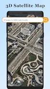
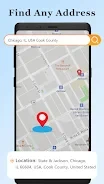
Users can view their current location on a live satellite map. The app also offers high-definition satellite earth maps and maps of the United States for finding locations and following driving directions. These map views support the navigation purpose by providing geographic context alongside the route information; the source does not describe map controls or additional technical details.
Tourist and city map views
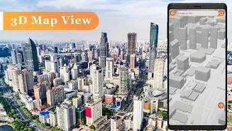
Tourist guider maps are included to help users find popular destinations. Live city maps and 3D views are also listed as features, complementing the satellite maps and driving tools with additional ways to view places. The description does not specify which cities or tourist destinations are covered.