

Overview
Live Earth Map - World Map 3D lets you explore cities, famous landmarks, and other locations through satellite imagery, 3D terrain, and detailed street views. The app brings together virtual world exploration and practical map tools, so you can inspect places from above, view locations at street level, and look up destinations by name, street number, or city address. It also includes 360-degree panoramic views, HD photos, real-time tours, and GPS-based map navigation. Whether you are preparing for a trip or browsing unfamiliar parts of the world from home, the app offers several ways to examine a location.
What You Can Do
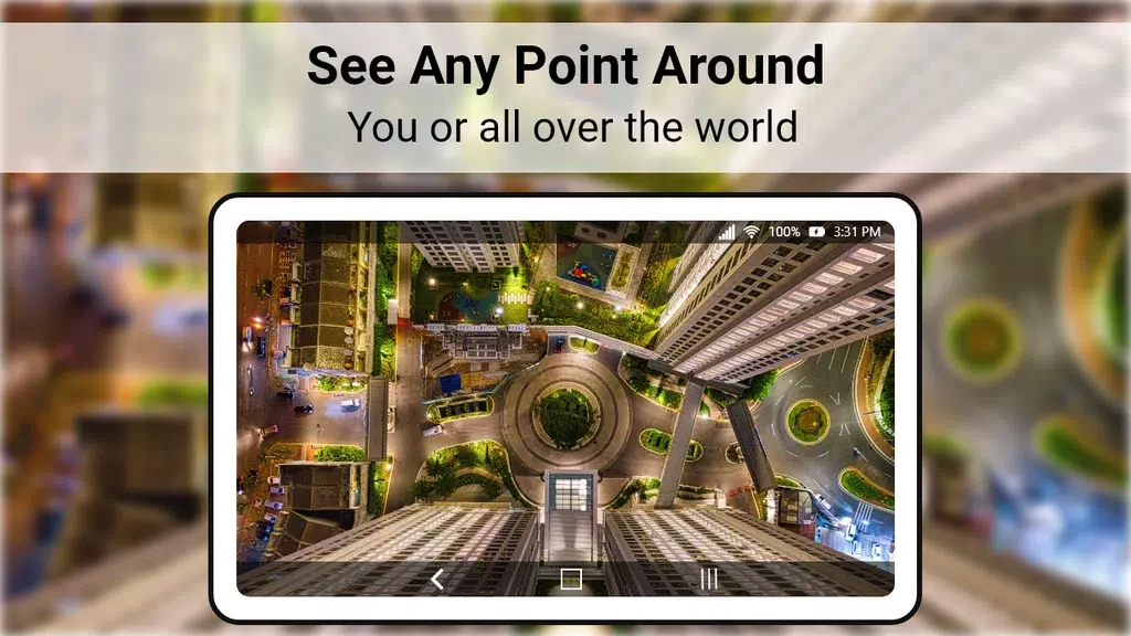
⭐ Switch to realistic satellite views to see cities and landscapes from above. This provides a broad visual overview of an area before you examine specific streets or landmarks.
⭐ Use detailed street views to inspect locations at ground level. The feature can help you look around an area virtually and search for places that may be useful when planning a visit.
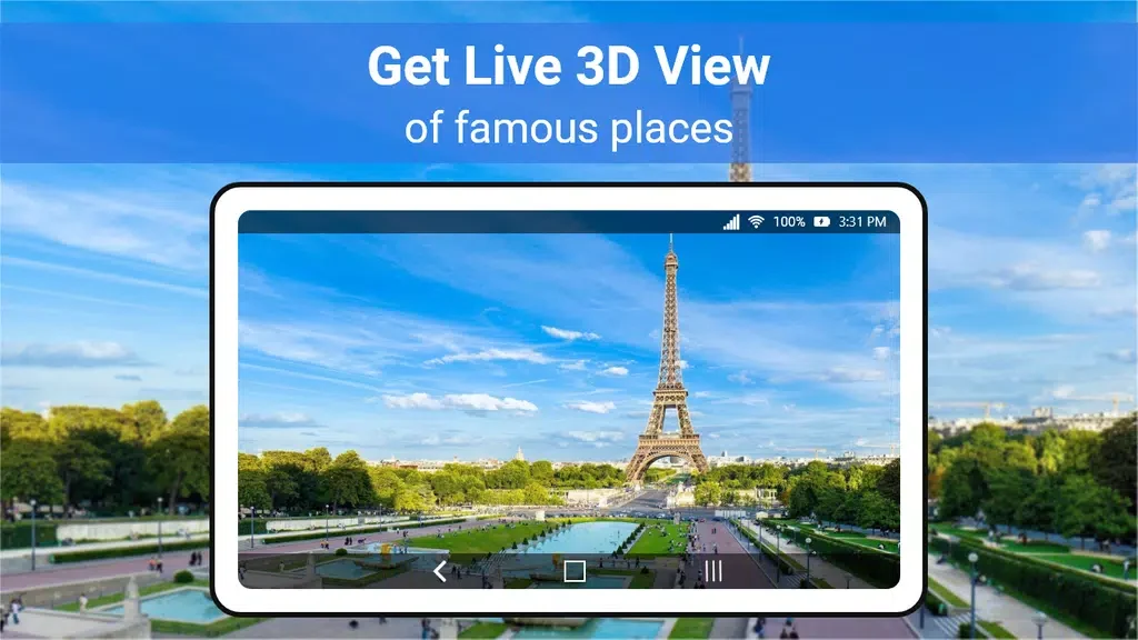
⭐ Explore selected famous locations with high-quality 360-degree panoramas. These views let you look around a place in multiple directions and access more information about the location.
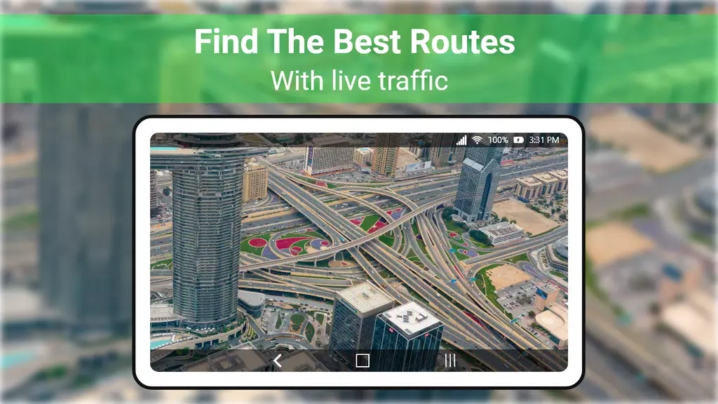
⭐ Search for destinations by name, street number, or city address. After finding a place, the app provides map navigation and driving routes for trip planning.
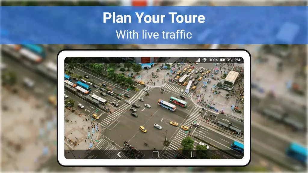
⭐ View the Earth through the app's live satellite map and explore locations through real-time tours. The listing presents these tools as available for use at any time.
⭐ Browse HD photos and discover landmarks or less familiar locations while moving between map-based views and virtual exploration features.
Using the App
The workflow centers on searching for a place or moving around the map to inspect an area. You can begin with a city address, street number, or location name, then compare the broader satellite view with the more detailed street view. When a destination is relevant to a journey, the navigation feature can provide a driving route. For more visual exploration, 3D terrain, panoramic views, HD photos, and real-time tours offer different ways to examine the same location. The source describes the interface as user-friendly, with controls intended to make searching and navigating straightforward.
Why It May Appeal
✅ It combines virtual sightseeing and practical navigation rather than focusing on only one type of map view.
✅ The mix of satellite imagery, 3D terrain, street-level views, and 360-degree panoramas gives users several perspectives on cities and landmarks.
✅ Address and place-name search can make it easier to move from general exploration to a specific destination or driving route.
✅ The app is described as free to use, with access to its live satellite views and 3D maps provided without a stated cost.
Developer
Live Earth Map - World Map 3D is listed as being developed by Pixamattic Inc -Live Earth Cameras, GPS Navigation.
Things to Consider
❎ The source describes the app as offering live and real-time imagery, but it does not provide details about image refresh timing, coverage for particular locations, or whether every map view is continuously updated.
❎ The listing does not specify a minimum Android version or explain whether all features require an internet connection, so those details should be checked before relying on the app in a particular travel situation.