
Light Pollution Map - Dark Sky developed by Dunbar Technology, LLC is an astronomy tool designed to help users locate dark sites free from light pollution and master the night sky. The application addresses the primary task of planning optimal stargazing sessions by integrating comprehensive tools such as cloud cover maps, temperature indicators, and customizable map layers. By consolidating live tracking data and celestial event notifications into a single user-friendly interface, it provides clear visibility into viewing conditions and upcoming astronomical occurrences for both novices and seasoned observers.
How does the app help find suitable stargazing locations?
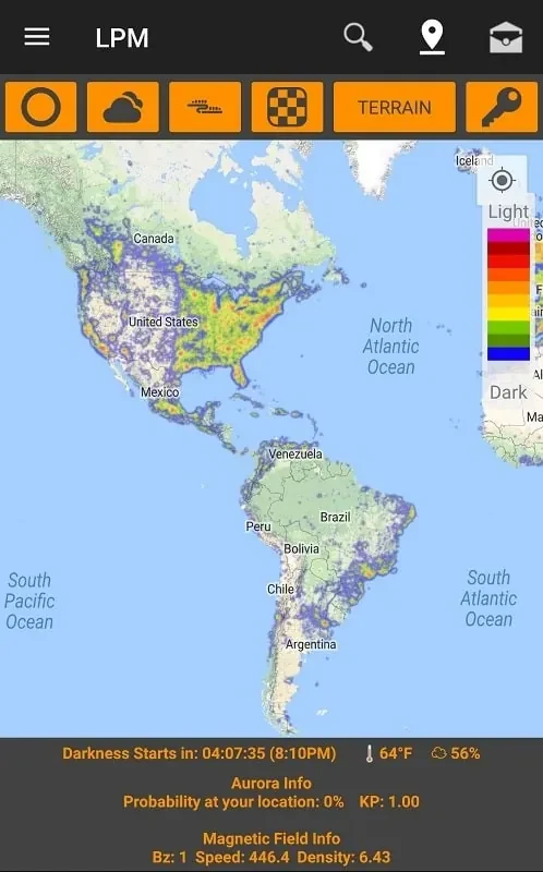
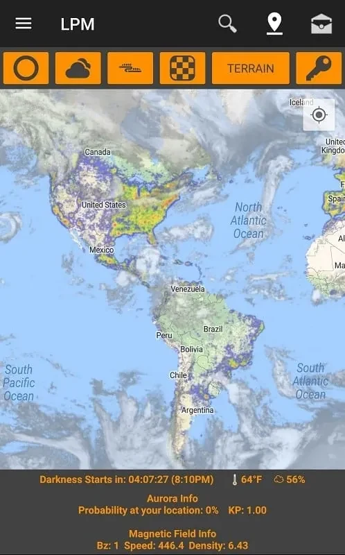
The application functions as a light pollution map that helps users locate dark sites away from urban interference. To assist with planning, you can save your favorite dark sky locations for quick future access. Furthermore, the interface provides customizable settings that allow you to adjust the map type and modify the opacity of the light pollution map overlay to suit your viewing preferences.
What weather and environmental tools are included?
To determine whether outdoor conditions are suitable for observation, the app integrates a cloud cover map alongside temperature indicators. Beyond basic weather metrics, it features live aurora and magnetic field information, plus an Aurora Overlay to monitor high-activity events.
How can users track celestial events and the International Space Station?
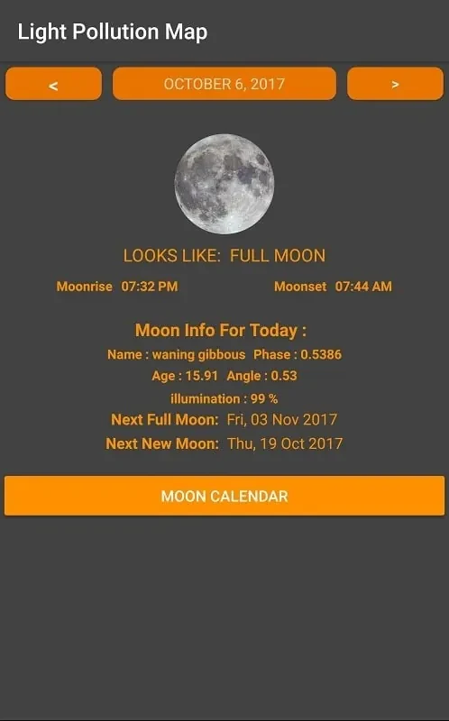
The platform keeps users informed through dedicated alerts and notifications for meteor showers, super moons, lunar eclipses, high aurora activity, and International Space Station sightings. An integrated ISS tracker displays the space station on a live map so you can determine when it is flying overhead, and it even provides access to live webcam feeds.
Who will find this application most useful?
Astronomy enthusiasts, stargazers, and anyone interested in tracking celestial events, meteor showers, and the International Space Station will find the application useful. Its blend of weather monitoring, customized map overlays, and event alerts provides a structured toolkit for organizing night sky observations.