

LandGlide is a mobile app for finding land parcels and viewing related property information. Its map-based tools cover properties across U.S. counties, with parcel details available through online and offline modes.
What property details can LandGlide show?
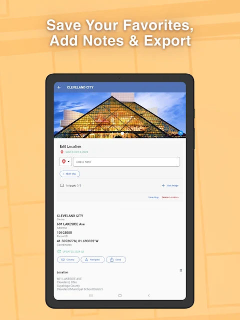
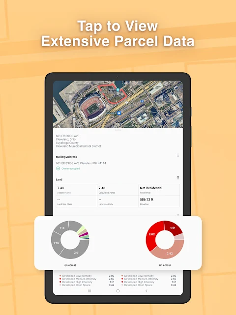
Parcel records may include the property owner, parcel number, acreage, square footage, address, building description, land use, and school district. The app also lists market and sale prices, transfer dates, elevation, and other property information. The details available can help people researching a property or considering a home or land purchase understand what information the app provides.
The description states that LandGlide covers more than 156 million properties across 3,000 U.S. counties. This coverage is focused on U.S. parcels, rather than property data worldwide.
How can users find a parcel?
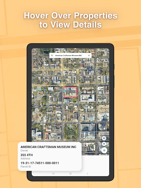
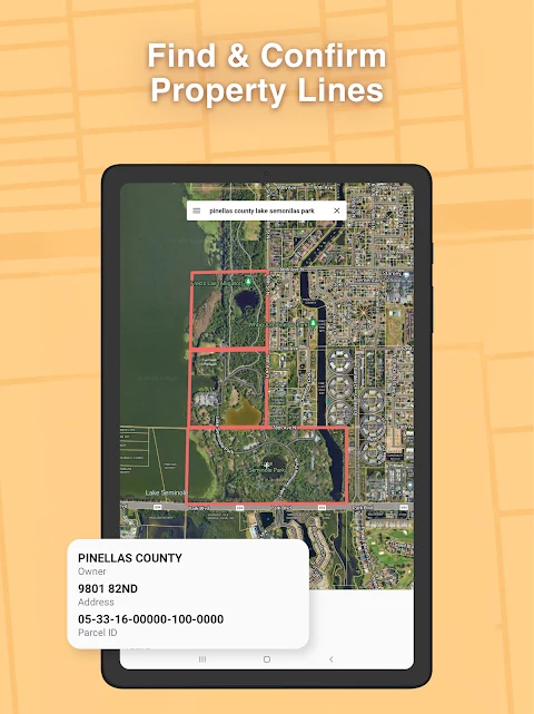
Users can view properties on GPS maps or search by property owner, address, or parcel. Tapping a plot on the map opens its details; the app description also refers to selecting properties on the map to see ownership and parcel numbers. These search options serve different lookup needs, whether a user has a location to explore or identifying information to search with.
Can parcel information be accessed offline?
LandGlide describes parcel data as available in both online and offline modes. This supports access to parcel information when a connection is unavailable, though the source does not specify which data or functions are available offline. The app is presented as a way to consult property records in the field or during property research, with its listed information centered on parcels and their associated details.