

GPS Waypoints Navigator helps you navigate on land or water by combining GPS maps, waypoint planning, route organization, and measurement tools in one app. It is designed for activities such as hiking, cycling, geocaching, exploring unfamiliar areas, and piloting a boat or yacht.
Maps for online and offline navigation
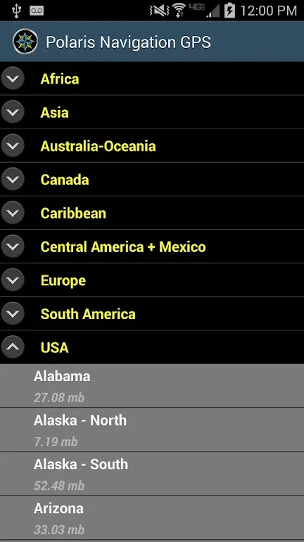
The app provides a library of more than 400 maps, including 3D vector maps. Maps can be downloaded and stored on external storage devices for offline use, allowing you to refer to saved map data when an internet connection is unavailable. The mapping tools are intended for navigating uncharted areas, getting around town, or planning movement at sea.
Waypoints, routes, and shared trail data
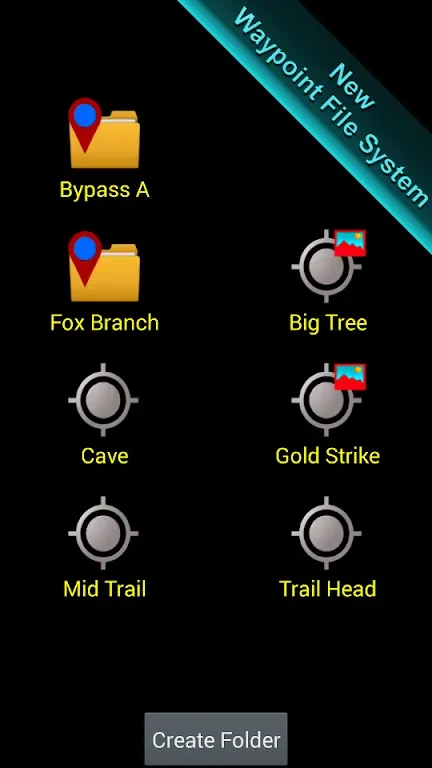
Waypoints can be created and organized through the app's filing system. You can use them to mark locations, document hikes, plan routes, or save places for geocaching. The app also supports sharing trails, waypoints, photographs, and comments through KML, GPX, and KMZ files. These files can be explored in Google Earth, giving you another way to review or share collected navigation data.
Nautical charts and navigation controls
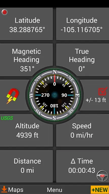
For marine navigation, GPS Waypoints Navigator supports NOAA Nautical Charts and OpenSeaMap. It also provides nautical unit reporting and several coordinate systems for working with location data on the water. Compass functions and waypoint creation tools add further controls for planning and following routes.
Distance, bearing, and lunar information
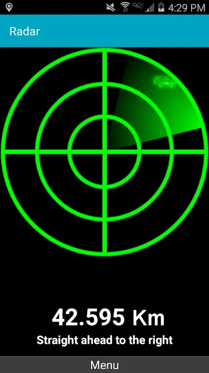
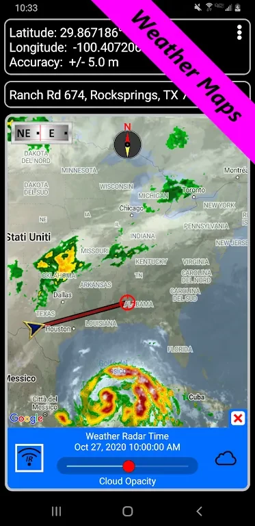
Measurement tools let you calculate distances and bearings between points, which can help with route planning during treks or bike rides. The app also presents moonrise and moonset times and the moon's phase on a weather map, alongside information intended to help track changes in weather conditions.