

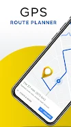

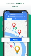
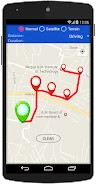
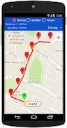
GPS Map Route Planner is a navigation app for finding routes between places and exploring locations nearby. It offers driving and walking modes, and provides approximate distance and travel-time estimates for a selected route to support journey planning.
Route planning and location
The app can show your current location on a map with a tap, so you can use it as a starting point without entering that location manually. Choose a destination to find a route between two places, then select driving or walking mode according to your journey. The distance and duration shown are estimates rather than exact measurements.
The source describes the navigation routes as being updated regularly. It does not specify an update schedule or give further details about how route information is maintained.
Finding nearby places
Alongside route navigation, GPS Map Route Planner can be used to discover places around you. Examples given include restaurants and attractions, as well as other points of interest. This makes nearby-place discovery a separate use from entering a destination and requesting a route.
Interface and use
The app is described as having a user-friendly interface and smooth controls. Its stated functions cover locating yourself on the map, choosing a route mode, checking estimated distance and duration, and looking for nearby places. The source does not specify a minimum Android version or provide further details about map settings.