

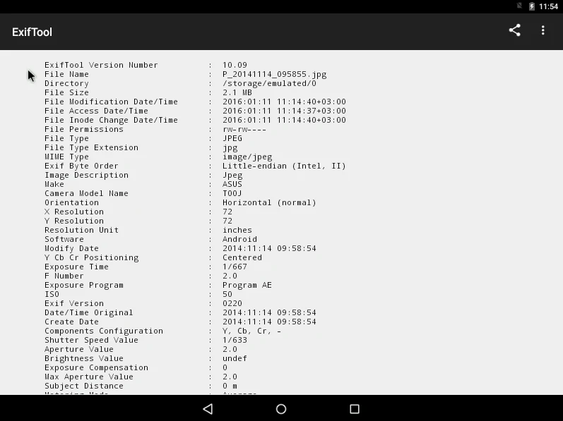
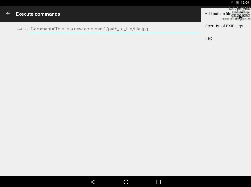
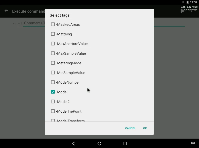
Exiftool helps Android users inspect and manage the information stored inside images, audio, video, and many other file types. Its practical value comes from combining metadata reading with editing tools: you can examine technical details, update selected fields, add or adjust location data, restore photo timestamps, and process multiple files together. The app is described as a graphical interface for a platform-independent Perl library, giving users access to established ExifTool functions without limiting the work to image files alone. It is also presented as free to use without registration, making it suitable for people who need direct access to file metadata rather than a photo editor focused mainly on visual changes.
Read metadata across different file types
The app can read metadata from images, videos, audio, and other supported files. The information may include EXIF, XMP, IPTC, GPS coordinates, camera settings, and related technical fields. The source also identifies support for JFIF, GeoTIFF, ICC Profile, Photoshop IRB, FlashPix, AFCP, and ID3 metadata, as well as maker notes created by a wide range of camera manufacturers. This makes Exiftool useful when the information needed for a file is not visible in a normal gallery or media player.
Supported material extends beyond standard photographs. The supplied feature description names RAW images, HDR files, panoramas, documents, audio, video, and archives, with processing available for more than 100 file formats. The exact metadata exposed will depend on the file and the tags it contains, but the broad format coverage allows users to use one tool for different kinds of media instead of switching between separate utilities.
Make targeted changes to file information
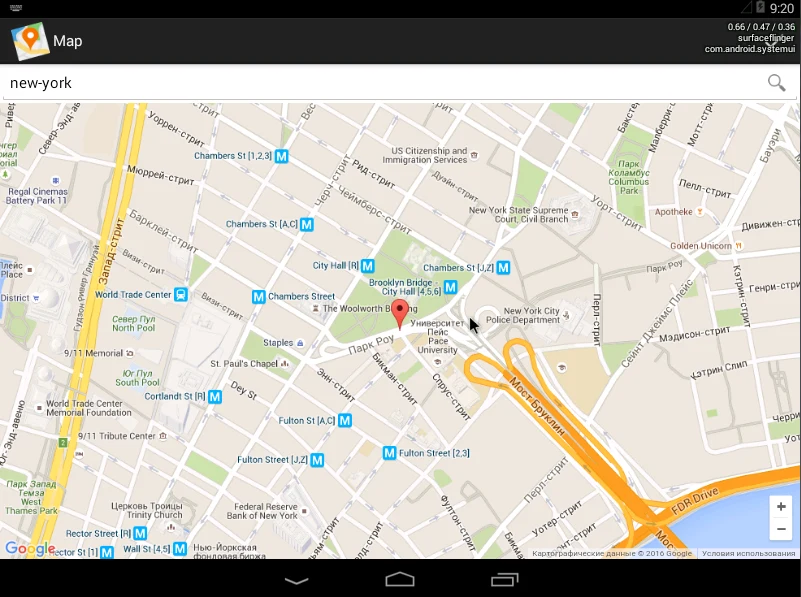
Exiftool is not limited to displaying metadata. It can be used to edit files according to the user’s needs, including adding geotags to images and identifying the corresponding city. It can also restore timestamps in photos and move or delete metadata in batches. These functions are useful when a collection has inconsistent dates, missing location information, or fields that should be removed before files are shared or organized.
Metadata changes can involve several related fields rather than a single visible label. For example, GPS information may include latitude, longitude, and separate reference directions. ExifTool accepts coordinates written as decimal values or as degrees, minutes, and seconds. Direction can be represented with values such as north, south, east, or west, or through signed coordinates, depending on whether the information is being written to EXIF or XMP fields. The tool converts accepted coordinate styles to the format required by the selected tag.
Process individual files or batches
The source describes file upload through drag and drop, pasted URLs, and batch uploads. On Android, the relevant benefit is the ability to bring several files into one metadata workflow rather than opening and editing them separately. Batch processing can be used when moving or deleting information across a collection, while individual processing remains useful when checking one file in detail or correcting a particular record.
After processing, users can choose an export format. This connects the inspection and editing stages: a file can be examined, selected metadata can be changed, and the resulting information can then be exported in a chosen format. The supplied description also characterizes the processing engine as fast and capable of handling large batches, although the actual time will depend on the files and the work being performed.
Understand GPS coordinate formats
GPS handling is one of the more technically detailed parts of the supplied documentation. A coordinate may contain one to three floating-point numbers representing degrees, optionally followed by minutes and seconds. For EXIF data, the latitude or longitude direction is stored separately in a reference tag. For XMP data, the direction can be included in the coordinate value through a negative number or a final letter such as S or W.
Combined latitude and longitude values are also supported in the documented ExifTool versions. A single GPS position can provide both coordinates and their directions, while separate composite latitude or longitude fields can combine a coordinate with its reference direction. When reading data, the default display uses degrees, minutes, and seconds. The documentation notes that decimal degrees or another format can be selected through ExifTool options, which gives technically experienced users more control over how coordinates are displayed and written.
Be careful with camera MakerNotes
Camera MakerNotes contain manufacturer-specific information and can be affected by software that rewrites image files incorrectly. The supplied guidance explains that damaged offsets may cause missing or incorrect values, warnings during reading, or errors during writing. Exiftool may report that MakerNote offsets are possibly incorrect, that a format is bad, or that MakerNotes are unrecognized.
When this happens, the documented options require judgment. The -F option can attempt to fix incorrect offsets, while -m can ignore or downgrade certain minor errors. A specific adjustment can also be added to -F when the tool suggests an offset. These choices are not interchangeable: applying a correction can permanently change MakerNotes, and ignoring errors may result in some information being lost. The source recommends comparing results when deciding which approach is appropriate, and notes that advanced users may need technical knowledge of EXIF structures.
Documented format and decoder updates
The supplied material lists ExifTool changes in versions 13.59 and 13.58. These include support for an additional Canon RF lens, Sony ILCE-7RM6 tags, a FujiFilm tag, more DJI protobuf tags, Nikon Z lenses, QuickTime MajorBrand values, RAF compression information, and timed GPS from INNOVV N2 TS videos. It also describes improvements for Canon ColorData, XML CDATA and comments, and error messages for incorrectly encoded CSV or JSON files.
Other listed changes concern technical behavior, including piped input for the -config option, handling of composite subsecond date and time tags, differences involving missing tags, Garmin FIT parsing, and the renaming of the RAFVersion tag to FirmwareVersion. These details matter most to users working with specialist camera, video, or structured metadata files. The app’s supplied version is listed separately as 1.63, so the documented ExifTool engine changes should not automatically be treated as a complete Android app changelog.